
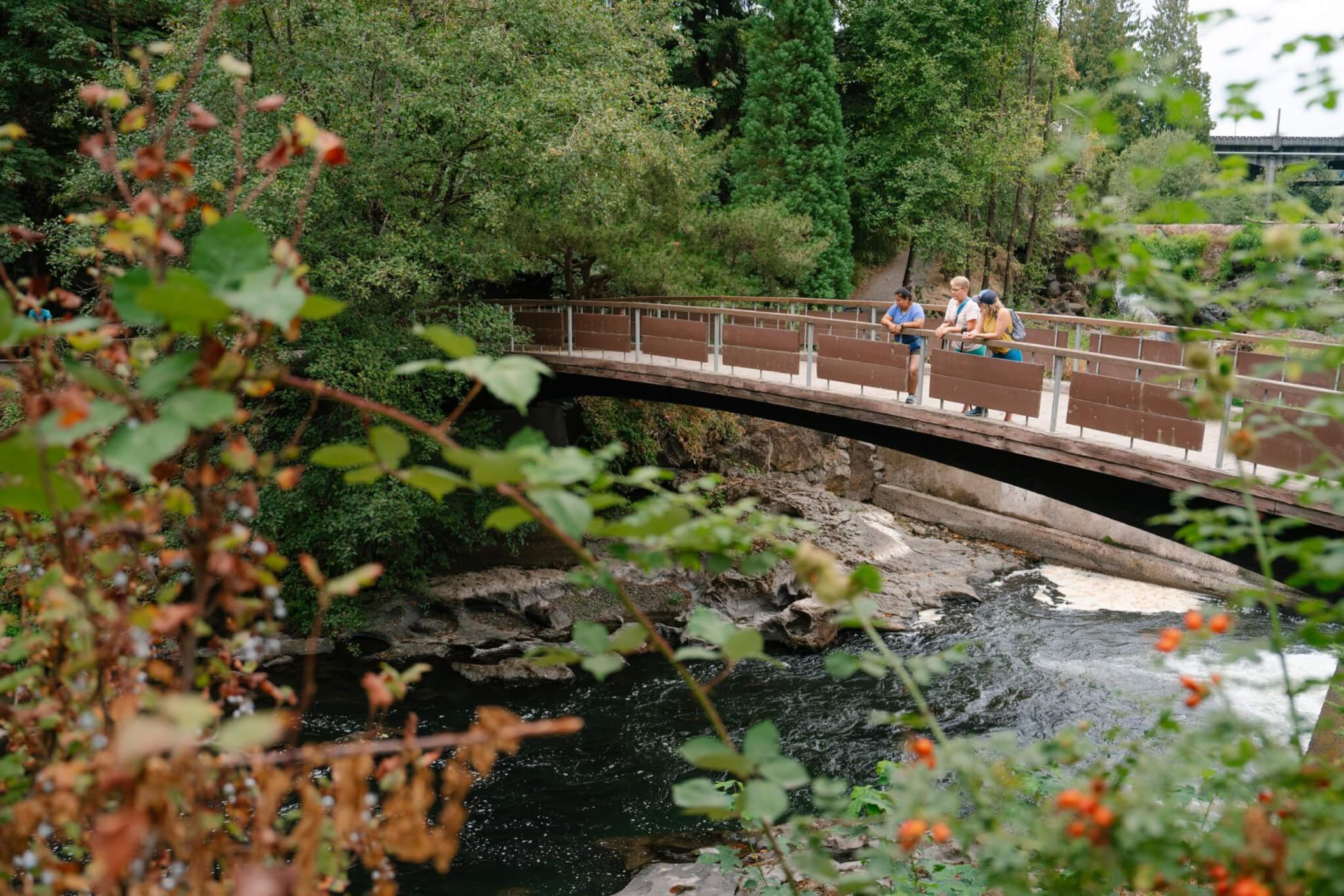
Experience a state of wanderlust
Explore Our Regions
Click a region on the map for an overview of the destination.
Trip Inspiration

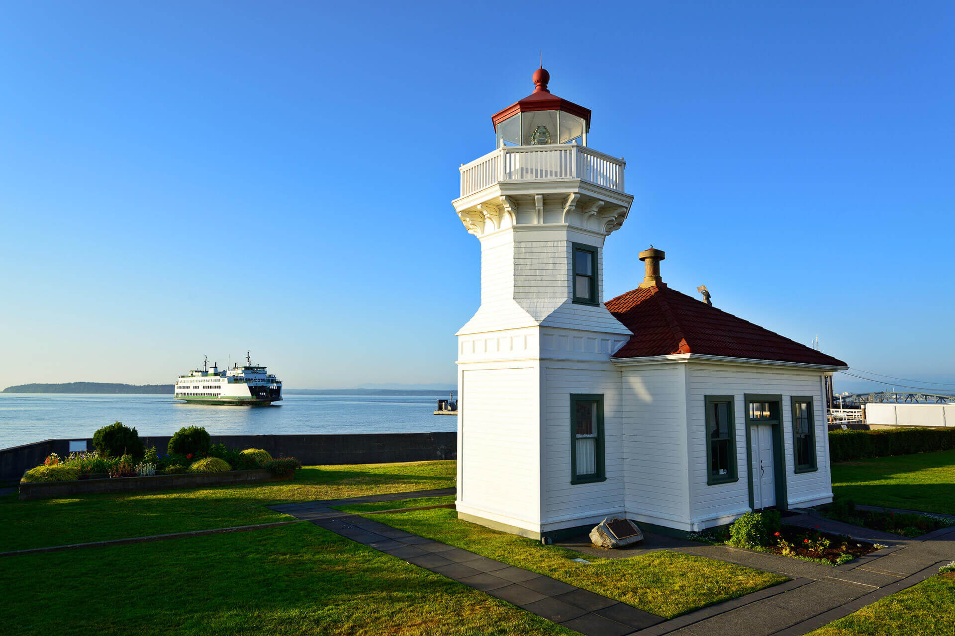
Discover Washington’s Scenic Lighthouses
Perched along rocky bluffs and nestled along sandy shores, Washington’s lighthouses offer sweeping views with a side of history.
-
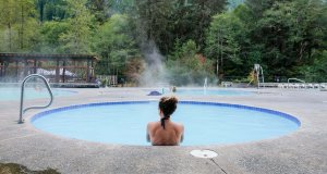
Where to Soak: Hot Springs and Thermal Pools
Unwind and soak responsibly with a visit to one of these exceptional developed hot springs and thermal pools.
-
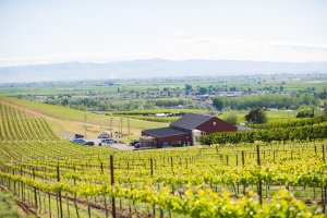
Enjoy Spring in Yakima Valley With This Itinerary
Spring means festivals, great weather, and more in the Yakima Valley.
-
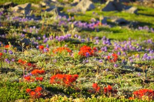
Colorful Trails: Explore These Scenic Wildflower Hikes
Discover stunning wildflower hikes with fewer crowds.
-

Sip Local at These Craft Distilleries
Visit stylish tasting rooms and sample top-notch spirits at these craft distilleries.
-

From Olympia to Spokane, Explore Washington’s Vibrant Murals
Discover the artists, history, and stories that bring Washington’s murals to life.
-
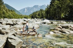
Things to Do With Kids in Washington State
From digging for fossils to watching wildlife, Washington offers fun for the whole family.
Visitor Guide & Map Request
Get the Official Washington State Visitors’ Guide — our handy resource for planning your trip.

Email Newsletter Signup
Stay in the know with stories, guides, and itineraries delivered straight to your inbox.